I Catskills-Delaware River Tour i
(As is apparently my habit, I didn’t complete this blog post until many months after the fact. The trip described below took place July 21-25, 2019.)
This short tour came together at the last minute. M– was leaving town for a few days so I’d figured it was a good time for a bike trip, and arranged to take the week off at work a couple months before. Then suddenly that week was only days away and I had nothing planned. I threw together a route that would take me up from Poughkeepsie to Route 28 west across the Catskills–an area I’d spent plenty of time in before–and then south more or less along the Delaware River, where I’d never been.
Sunday
I had a short day planned and started late, arriving at the Poughkeepsie station around 1pm. This was the last day of a brutal heat wave; ten miles down the road in New Paltz, a bank sign announced a temperature of 100°F. I lingered for a while in New Paltz, buying some warm-weather cycling socks from the weirdly-aggressive bike shop there, then enjoying some (perhaps too many) lovely sour beers at the Arrowood Farm Brewery taproom next to the farmer’s market. But eventually I had to head back out into the heat and up to Rosendale on Springtown Road, over the trestle, then west through Cottekill and Stone Ridge to Hurley Mountain Road, which would take me up to Route 28.
My destination for the night was Onteora Lake at Bluestone Wild Forest, a place I’d never been. I wasn’t sure what to expect. A friend had tried to camp there but couldn’t find the entrance when he arrived after dark–but in daylight it was easy enough to find, right next to a strip of highway-side stores. The lake was busy with picnickers, swimmers, and dog-walkers, but most people weren’t staying the night and I had no problem finding a campsite. (As with all of the places I stayed on this trip, these were primitive sites.) The forest is appropriately named; the site was very rocky and it took me a long time to find a spot where I could get my tent pegs to hold, even after putting rocks on them. But eventually I was settled into my site a stone’s throw from the water, where I went for a much-needed swim to try to cool off. But even the water was warm, and I think I was still feeling the effects of heat exhaustion well into the night: no appetite and a constant low-grade nausea I couldn’t shake.
(Poughkeepsie to Onteora Lake route)
Monday
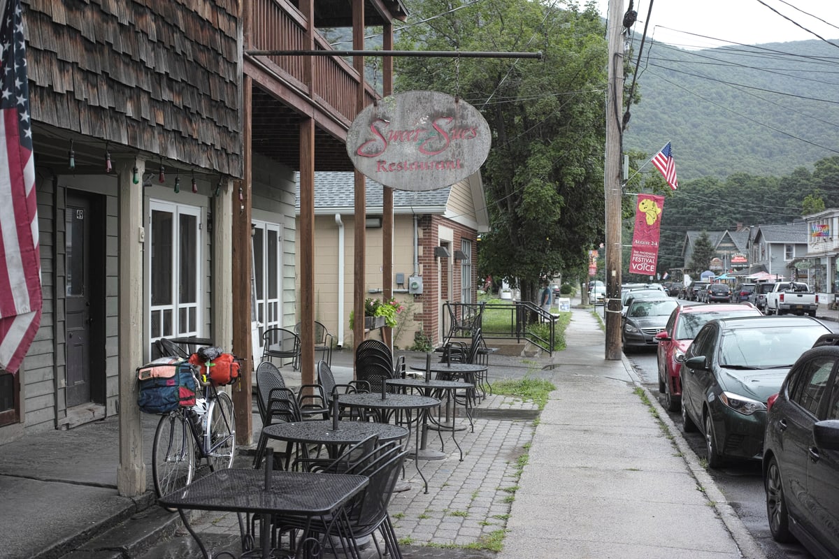
Although temperatures were cooler in the morning, I still didn’t feel very good, and this day was a struggle. Much of it was spent on Route 28, a busy highway with a ton of truck traffic and a shoulder full of debris. In a few spots I was able to find quieter side roads paralleling the highway, and on these roads you could really appreciate the region. One of the nicest of these was the Mt. Tremper-Phoenicia Road along the Esopus Creek into Phoenicia, where I stopped for lunch at the delicious Sweet Sue’s.
(A short digression: in 2017, when I did the Catskills tour with 718 Cyclery, our scheduled route had us stopping at the famous Phoenicia Diner on Route 28 just outside of town, but one rider insisted that the diner was for tourists and hicksters–both of which, of course, we were–and that Sweet Sue’s was the real deal. The rest of us were skeptical and uninterested in detours on the second-to-last day of the tour, and it turned out that Sweet Sue’s was closed that day anyway. But he was right: Sweet Sue’s is better, cheaper, and friendlier, and it was the culinary highlight of this trip by a large margin.)
I’d planned to use my Velogical dynamo and Sinewave Revolution setup to charge my phone (which I was using as my GPS), a setup that worked fairly well last October in Vermont. But it wasn’t working well now. The charging cable I’d brought from home, although tested the night before the trip, seemed to have stopped working. At the Dollar General on Route 28 near Bluestone Wild Forest I bought a new charging cable and this worked intermittently, but the phone wouldn’t charge consistently. I think part of this was the hot weather–apparently iPhones will stop or slow charging if the device gets too warm–and part of it was my slow pace (iPhones will not charge if the current falls below a certain level). Next time, I’ll bring an external battery pack, since they will trickle-charge even at low amperage (this is what Sinewave recommends). On this trip, I spent a lot of time with my phone plugged into outlets at restaurants.
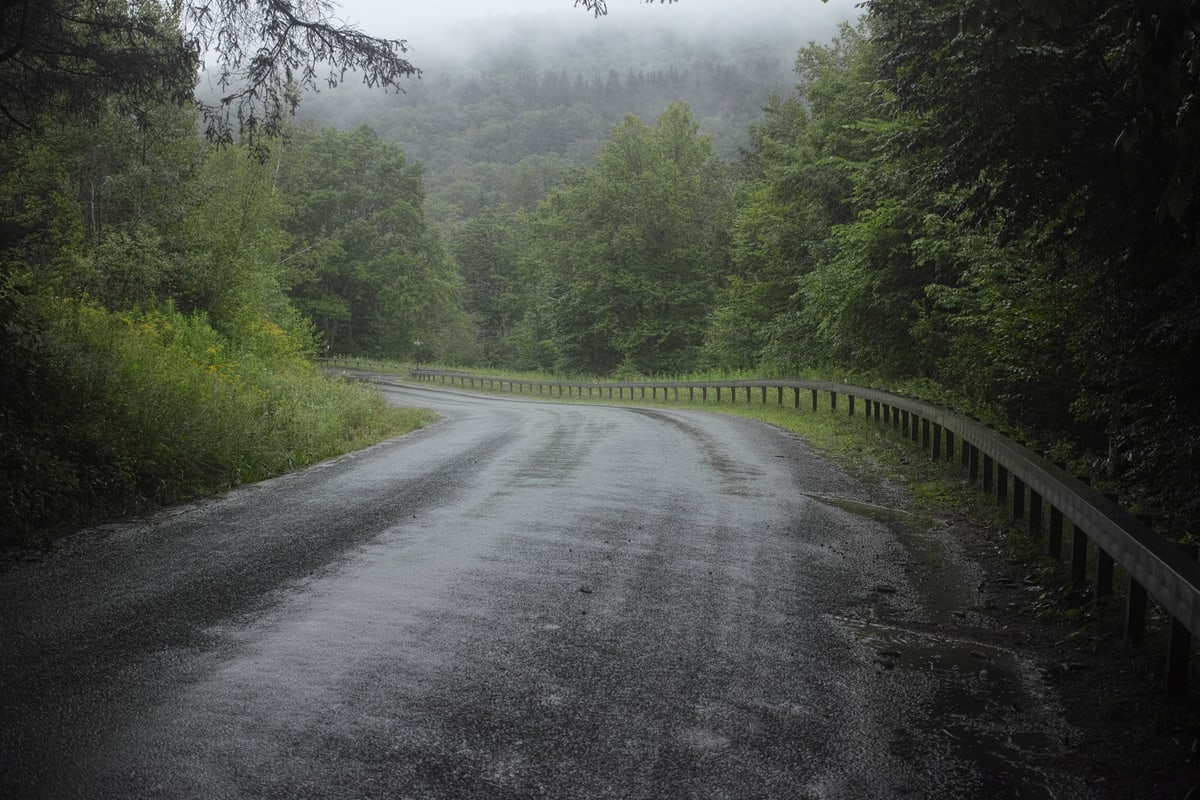
While I was charging my phone at Sweet Sue’s it began to rain. Downtown Phoenicia has one real street, and on the other side of it from Sue’s is a hardware store that doubles as the Trailways bus stop, with service to Kingston and from there to New York. Should I give up on this trip and get on the bus? I considered it but, in the end, I set off down Route 28 as the rain began to grow heavier. Less than a mile down the road I got a flat, which I changed in the rain. (This was the only flat of my trip.)
As I got further and further west on Route 28 I began to realize how much of this day’s route was the same route I’d ridden in 2017 on the 718 Cyclery tour. I hadn’t realized there was so much overlap when planning the route. In Margeretville I stopped at the Bun’n’Cone burger-and-ice-cream joint to again charge my phone and use the wifi. My clothes were soaked through and I was starting to feel a chill. I began to have second thoughts about Alder Lake, my planned campsite for the night ten miles further. The last of those miles were up the unpaved Cross Mountain Road–1200 feet of elevation in two miles with grades in excess of 20%. At this point it had been raining steadily for most of the day, and I had no idea what the road surface would look like or whether it would be rideable on my 32mm slick tires.
On my map I saw that there were a few campsites along the cross-country ski trails at Kelly Hollow, just off Mill Brook Road. Like Alder Lake, Kelly Hollow was about ten miles from Margaretville, but with much less elevation gain and on paved roads. It was an easy choice to make. I headed for Kelly Hollow.
When, I arrived, it was clear the sites see little use, at least in the summer. Fire rings were overgrown and I knew that in the downpour I’d have the place to myself. A bit back in the woods was a cemetery–neatly mowed in contrast to the explosion of growth everywhere else.
The rain persisted all night and eventually I woke up to droplets of condensation which the raindrops were knocking off of the inside of my tent. I wiped the walls down with a pair of shorts (everything in my bag was wet anyway at this point) and went back to sleep.
(Onteora Lake to Kelly Hollow route)
Tuesday
It was still raining in the morning, but it had let up a bit. I made a cup of tea in the cemetery, then headed out.
My original plan had me taking Barkaboom Road north to Pepacton Reservoir–a beautiful road I’d ridden on the 718 tour. But that was when I’d planned to camp at Alder Lake. From my campsite at Kelly Hollow, it didn’t make sense anymore, so instead I retraced my route from yesterday along Mill Brook Road until I was back at the southern edge of the reservoir.
This reservoir is long and narrow, extending nearly as far as Margaretville to the east and Downsville to the west. In the middle is a bridge, and I chose to cross it now from south to north to follow the northern shore of the reservoir west to Downsville. I did this because Route 30 runs along the southern shore, and I thought the lesser-traveled local roads to the north might be more interesting. This was mostly a mistake, adding considerable distance and climbing, with few views of the reservoir. But I did pass the Pepacton Cemetery, containing remains and headstones from various graveyards which were flooded when the reservoir was built.
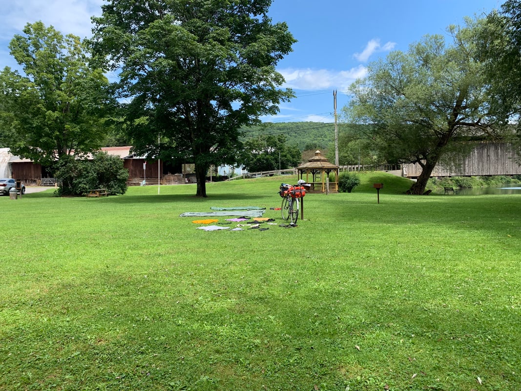
Sometime around midday I arrived in Downsville where I ate a hearty diner breakfast, charged my phone, and spread all my wet gear out to dry in a grassy little park next to Downsville’s covered bridge over the East Branch of the Delaware River–the river I’d be following for the rest of my trip.
My original route had me following the East Branch all the way west to Hancock, where it joins with the West Branch to form the Delaware River flowing south. Then I’d double back and sleep at Tommanex State Forest. But this route was out of the way and this detour now seemed a little pointless. I was happy enough to cut a day of my trip at this point, so I decided I’d skip the Hancock out-and-back and head south at Tommanex toward the campsite I’d planned to use the following night, at Crystal Lake Wild Forest.
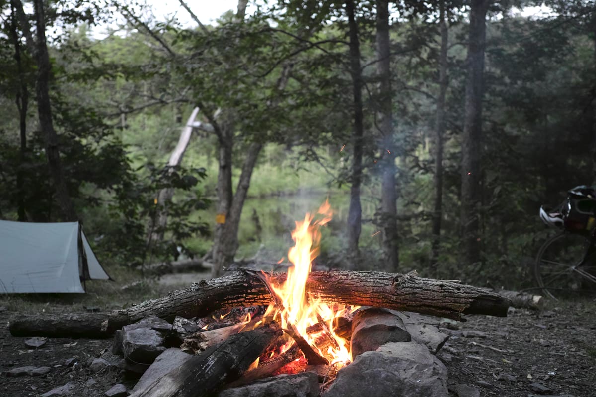
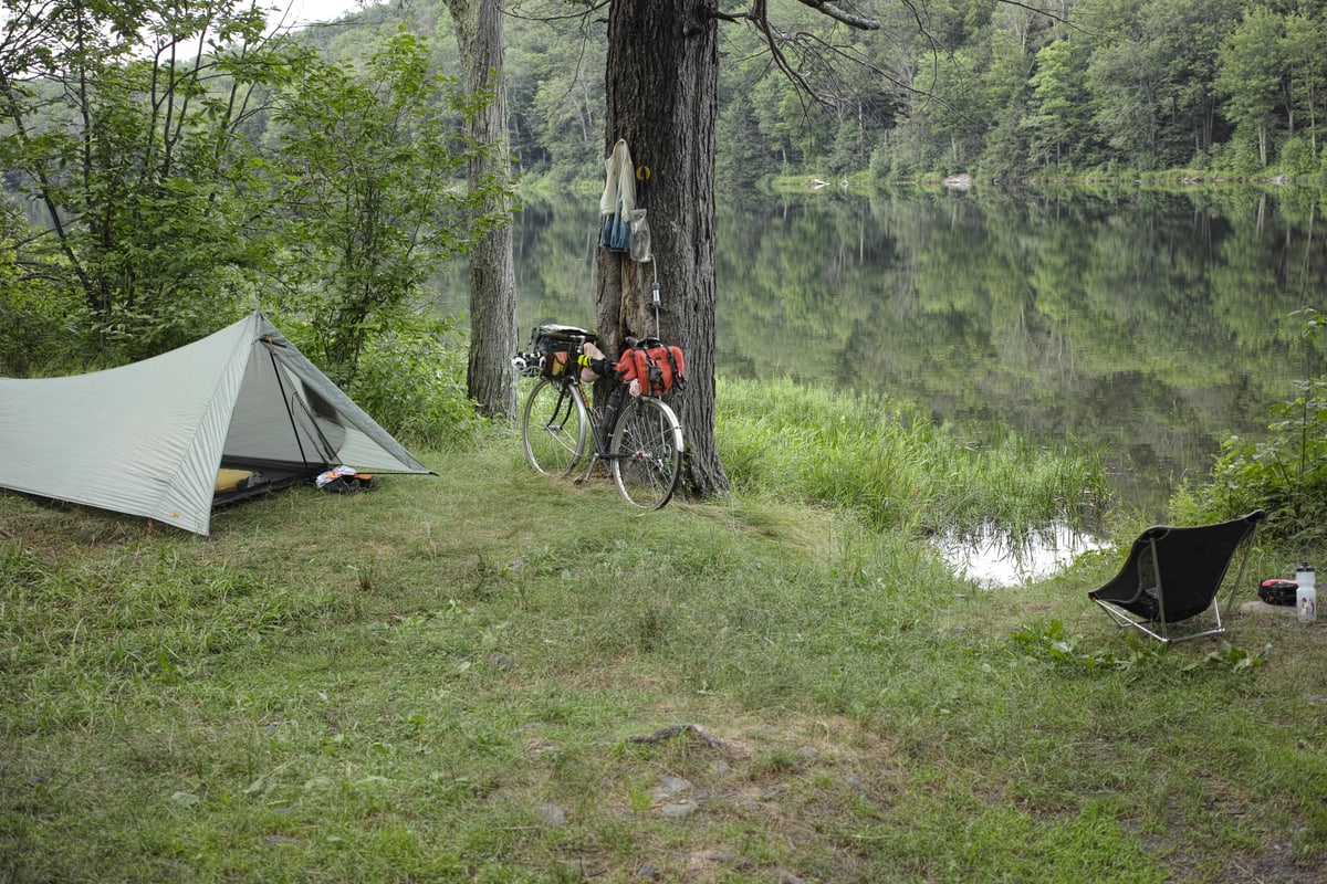
I arrived just before sunset to find a beautiful campsite right on the shore of the eponymous lake, as clear as its name promised. It felt good to wash off the day’s grime. From my campsite I could see the gravel parking area across the lake, and I watched as the kayakers and dog-walkers departed one by one. By sunset, I had the entire lake to myself.
(Kelly Hollow to Crystal Lake route)
Wednesday
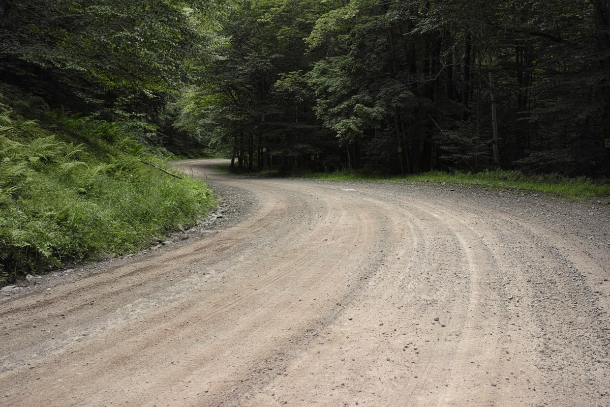
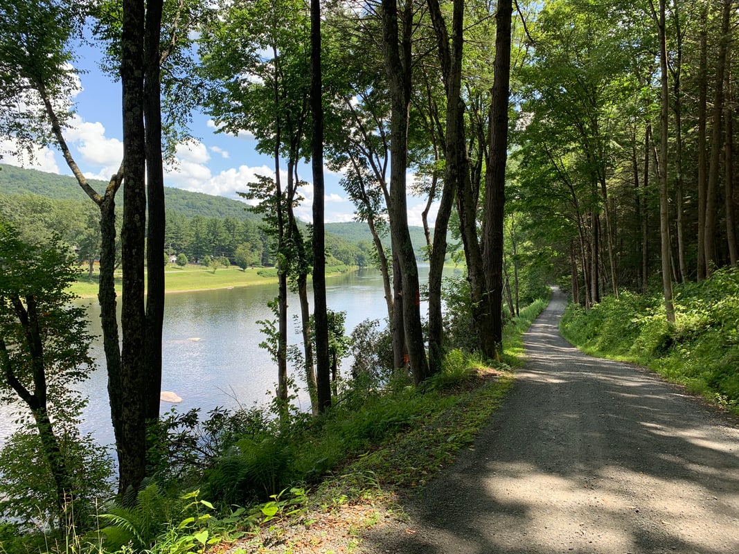
I lingered a while at my campsite in the morning–it was too nice a spot to be in any hurry to leave. Eventually I headed west to meet the main branch of the Delaware outside of Hankins, NY. I crossed a small bridge there and found myself on a truly wonderful dirt road on the Pennsylvania side. Initially it ran up into the hills high above the river, but eventually it descended to run only a few feet from the water. I was on this road for nearly ten miles until I hit the little river town of Callicoon, where I ate a leisurely lunch.
As nice as the dirt road on the Pennsylvania side had been, it had been slow going on my relatively-skinny tires, and I was worried about making the next campsite before dark, so I decided to stay on NY Route 97 on the east side of the river to make better time. This turned out to be a mistake; it was very hilly for a busy highway, so I was still not making great time, and it had a minimal shoulder, fast traffic, and no views of anything. But I didn’t want to backtrack, so I was stuck on it until the next bridge at Cochecton, where I descended to cross again to the Pennsylvania side. On the other side of the bridge I saw an ominous sign saying that the road I planned to take was closed. I deliberated for a moment. There were no other routes south on either side of the river except NY Route 97, which I’d just come from. I didn’t much want to get back on it, and I especially didn’t want to climb back up the very steep hill I’d just come down. Already on this trip I’d crossed a couple bridges that were closed to car traffic but easily crossed by bike; I decided to take my chances and proceeded past the sign.
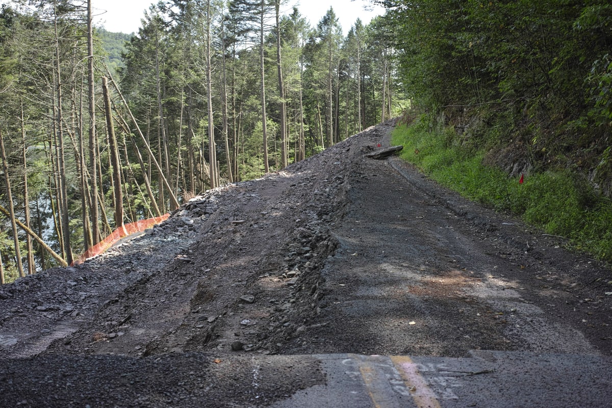
In about a mile I came to the closed section. All of the road surface had been cut away to expose loose gravel and dirt, which slanted vertiginously toward the river below. The road had turned around the hillside here, so I couldn’t see how far the construction extended. I left my bike and walked carefully on a narrow strip of flattish gravel to try to scope it out. It turned out that the construction zone ended just around the bend, so I proceeded to push my bike across on the same narrow strip. Between my slippery bike shoes and my fully-loaded bike, it was a little dicey, but I made it across without incident and enjoyed the quiet and scenic roads on the Pennsylvania side of the river all the way down to Narrowsburg, where I crossed back into New York.
From Narrowsburg I headed east, away from the river–and up. It was hot and the climbing relentless. At last I arrived in the tiny crossroads of Eldred, only a couple miles from my planned campsite at the Hickok Brook Multiple Use Area. Eldred is a one-stoplight town, but it has an ice-cream store, a brewery (sadly only open on weekends), and an excellent grocery story with a chilled beer cave. I picked up some fresh tomatoes and watermelon (I always find myself craving fresh fruit and vegetables when I’m camping) and a couple of cans of Lagunitas and rode the two miles out of town to my campsite.
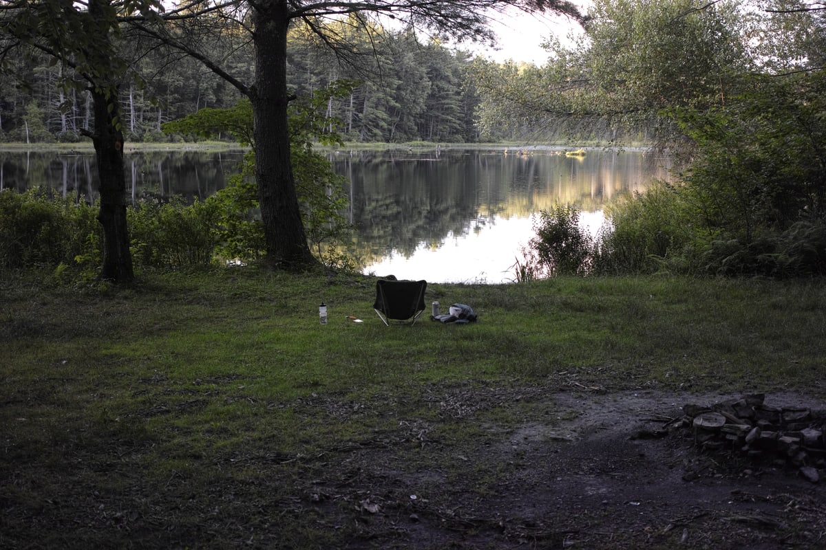
Once again I was able to camp right next to a pond, and if it was a bit algal and there was a warning against swimming due to the water quality, I couldn’t complain too much. I could still enjoy watching the sun set over the water while I sat by my fire and read my book.
(Crystal Lake to Hickok Brook route)
Thursday
Thursday was a short day–only 20 miles or so to Port Jervis and the train home. Best of all, those miles were mostly downhill. I don’t think I had to pedal once between Hickok Brook and Route 97.
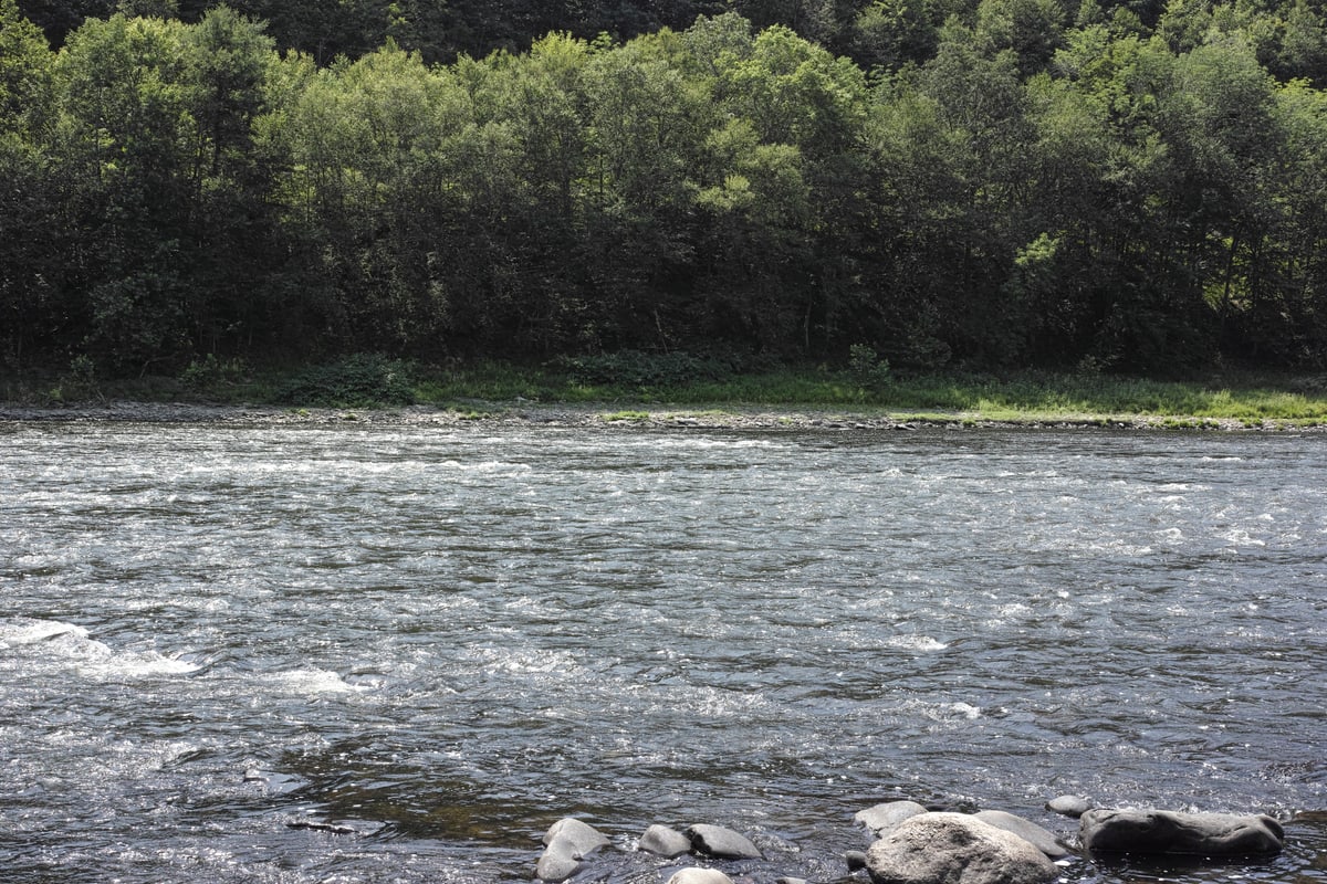
Since Hickok Brook hadn’t seemed suitable for swimming, I was feeling a bit grimy, so it was nice to see a river landing right where my route joined 97. The cold, clear water was deeply refreshing on this hot day.
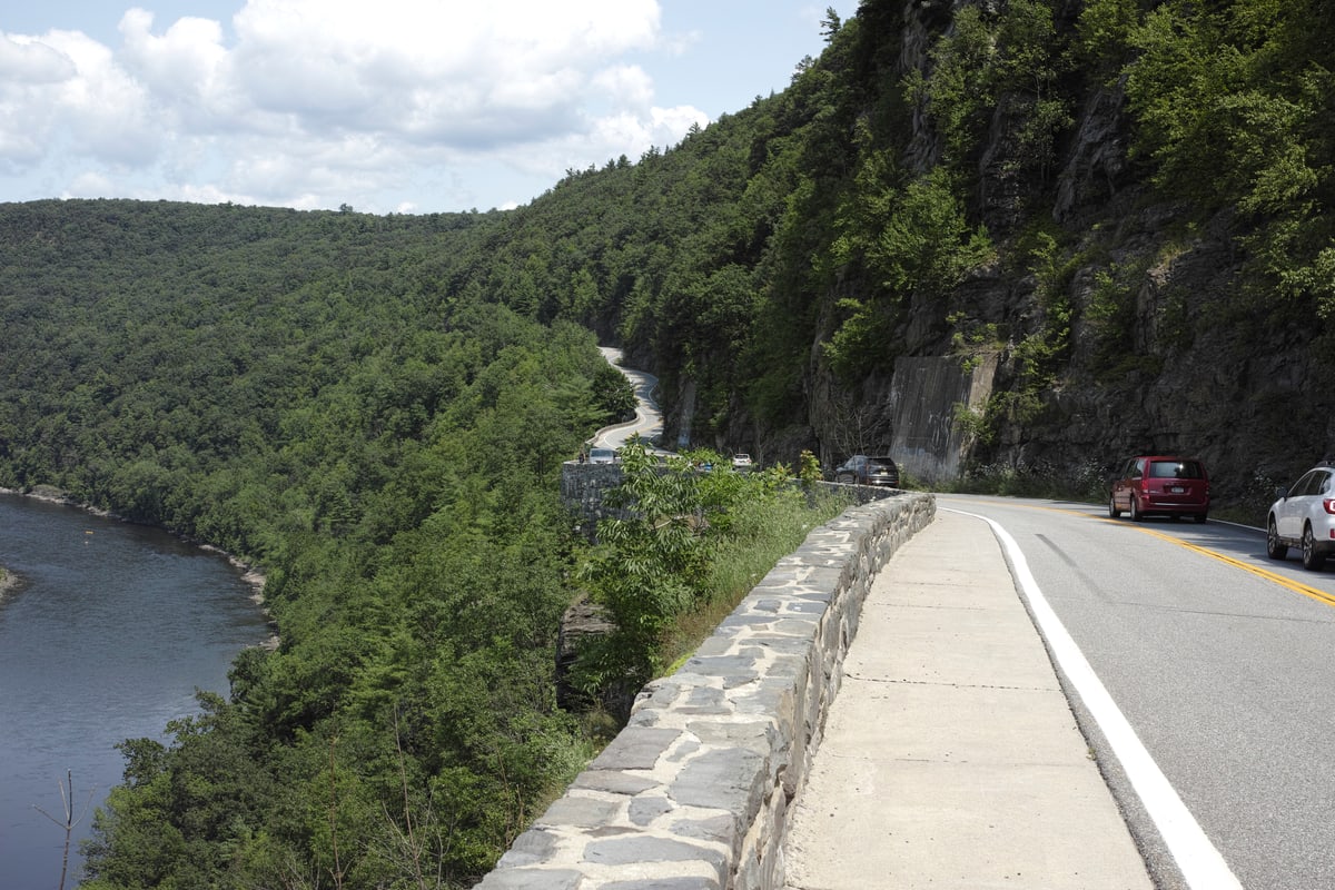
As before, Route 97 had a bit of traffic, but this time I got to ride the iconic Hawk’s Nest section, so I didn’t mind so much.
I hadn’t bothered to check the train schedule at Port Jervis because on the Metro-North lines where I usually ride the trains run at least every two hours during the day. It turns out that at Port Jervis during the week there are no trains between 1:28pm and 9:27pm! Fortunately, I arrived a little after noon. I spent a bit riding around downtown Port Jervis looking for a place to buy a sandwich for the ride home. While distracted by trying to figure out which storefronts looked promising, I managed to ride directly into a curb and flew over my handlebars. This was my only accident of the tour, and fortunately I was mostly unharmed–only the hand with which I broke my fall was slightly banged up. Eventually I ordered a more-than-serviceable sandwich from Woogie’s Deli and ate it on the platform waiting for the train.
