I Over the Shawangunk ridge off-road. i
In October I bought a thirdhand Crust Romanceur–my first bike with clearance for big tires (I’m running 650bx48s), my first bike with disc brakes, my first bike set up tubeless. Naturally, I started looking for off-road routes I wouldn’t have been able to ride on my old skinny-tire bike. With the holidays it’s been hard to find time for trips, but on the weekend of January 11-12 I set out for a quick overnight on the Shawangunk ridge–almost entirely offroad.
Saturday
The weekend turned out to be unseasonably warm, with forecast overnight lows in the 50s and highs in the 60s (I would end up seeing 70-degree temperatures!). Nonetheless I worried that the forecast might be wrong, or that it might be colder up on the ridge where I planned to camp. I just couldn’t bring myself to pack for summer temperatures in January. So I packed my 20-degree bag and winter pad (a mistake, I was sweating all night).
I had planned short days because I wasn’t really sure how fast I’d be on dirt, and to allow me to get a later start. So it was already after noon when I got off the train in Otisville. It was only a few miles from the train to the Basha Kill wetlands and the old O&W railbed (confusingly also part of D&H Canal Heritage Corridor–the rail and canal tow paths often parallel each other).
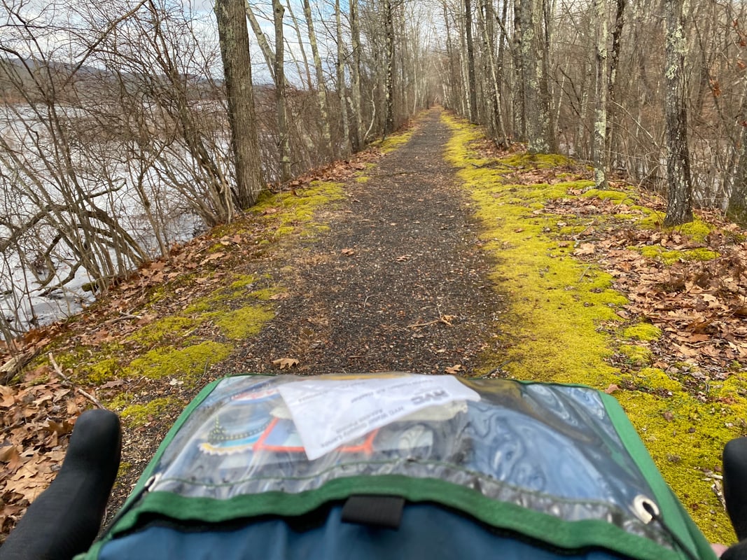
I’d been here before on foot, but this was my first time on a bike. It’s a fun ride with some nice views of the wetlands. The railbed has not been graded, is often extremely rooty, and in some sections the old rail ties are still apparent–so it was plenty bumpy enough to make me glad of my 48mm tires. If I’m in the area again I might try the canal tow path on the other (west) side of the Kill. Despite the t-shirt weather there were patches of ice, one of which took me down early on. There were sections where the railbed seemed to disappear and I had to detour onto foot paths until I could reconnect. I continued north out of the Basha Kill Wildlife Management Area and toward Wurtsboro, where I found myself stuck. The Kill here is no longer a wide wetlands area but a small stream. On maps, the rail corridor is shown continuing through Wurtsboro, but in fact the old rail bridge over the stream is long gone. And the stream is down in a gully relative to the trail, so getting my loaded bike down, across the stream, and back up would have been tricky. A wide grassy path led off to the left, so I tried following it for a while and ended up in the parking lot of a propane company. I got some odd looks from a worker there and I don’t think he was very happy to see me, but I quickly headed out onto Sullivan Street (Wurstboro’s main street) to rejoin the railbed.
When I reached the spot where the right-of-way crosses Sullivan Street, I saw that the old railroad station south of the crossing appears to be a private residence now. It was heavily posted with no-tresspassing signs–so even if I’d stayed on the rail right-of-way and forded the stream I’d have ended up in somebody’s yard. I’m not sure there is a good way to navigate this section without risking hostile encounters with property owners.
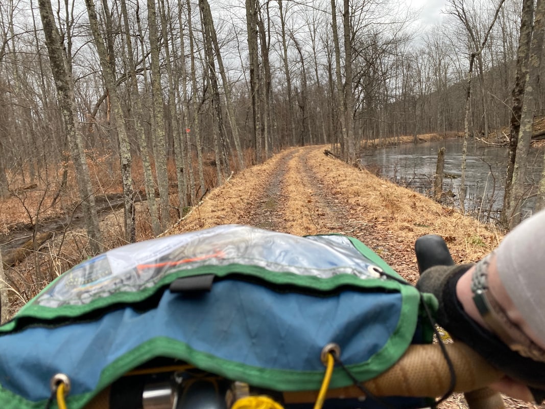
North of Wurstboro the right-of-way is maintained as a rail trail. It’s smoother here (though still unpaved). In a few miles it seems to end at another road crossing next to a house whose owners have posted signs (of questionably legality) and parked to discourage continuing north on the rail right-of-way. But it’s easy enough at this crossing to cut over to the nearby canal towpath, which runs right next to the railbed. I followed one path or another up past Summitville, but eventually I had to get on NY 209 for a bit. I turned off at Lewis Road, which was marked as a dead end–but my map seemed to show that it went through, and indeed, after a bit it turned into a rough jeep track, perfect for this bike.
Unfortunately around this time I was beginning to notice a softness in my rear tire. I stopped a few times to pump it up in hopes that it would seal, both before and after finding and removing the offending staple (!) in the tire, but it never sealed so eventually I had to stop and put a tube in. When I did so I found that the sealant had almost completely dried in one big clump at the bottom–only two and a half months after I set these tires up! Frustrating, since the sealant is supposed to be good for a minimum of three months. Grumbling to myself about tubeless being a scam, I continued on along this road, thinking I’d hit the outskirts of Ellenville–where I intended to eat dinner–any minute.
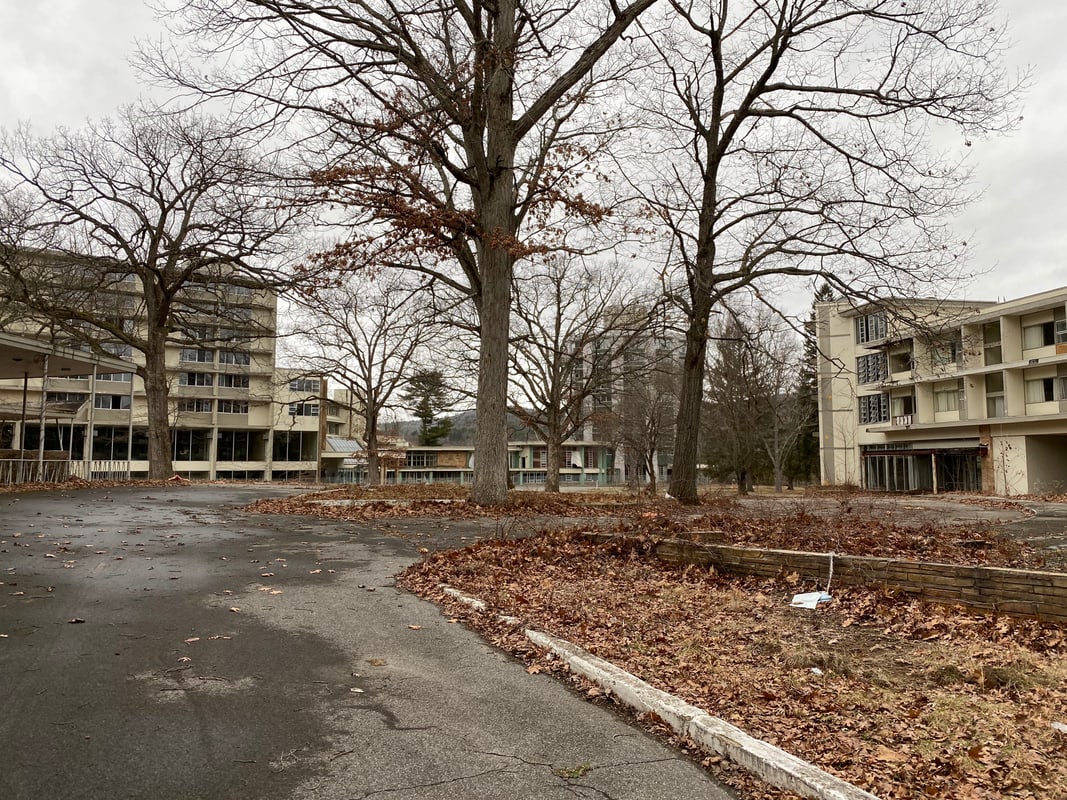
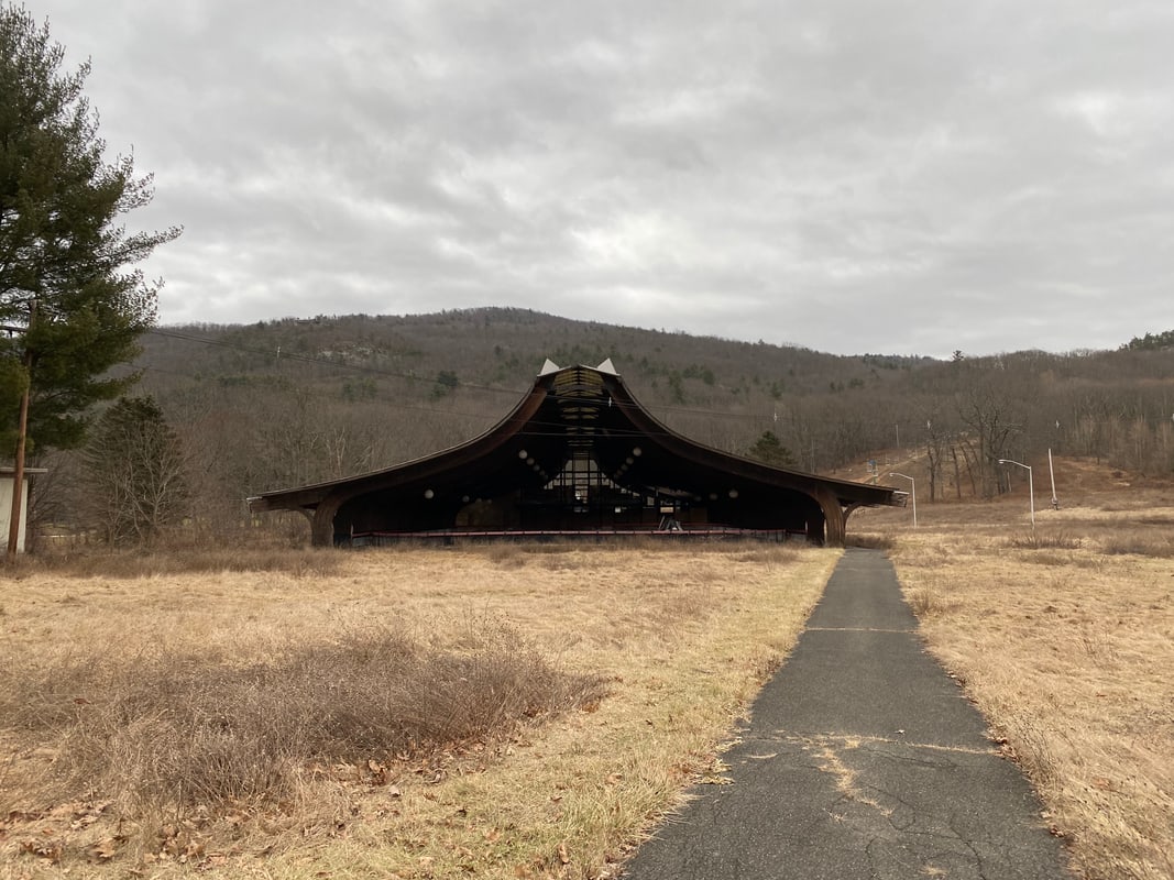
Instead emerged from the woods into a bizarre, abandoned complex of mid-century buildings. In the fading gray January light, it was more than a little creepy. Many of the buildings were missing windows or had holes in the walls or were shedding torn-up insulation. I couldn’t help thinking of the Chernobyl exclusion zone. Finally I saw a ski lift and chalet (equally abandoned) on the adjacent hillside, and it became clear that this had been some kind of resort. (Later I learned that it was known as the Nevele, and had closed in 2009.)
I rode around the resort for a bit trying to find a way to proceed. There was chain-link fence around most of it, including the old gatehouse. Immediately adjacent to this abandoned place was a golf course belonging to Honor’s Haven Resort & Spa, and I could see people walking there on a perimeter path. The only gap I could find in the fence led to that same path. I was nervous about cutting through with so many people around but I didn’t see another way out and it was rapidly growing dark, so I rode through, along the perimeter path and out through the parking lot and past the Honor’s Haven gatehouse. Fortunately nobody stopped me and I was in downtown Ellenville only a few minutes later.
I had thought the short mileage for this day would give me time to eat dinner at Aroma Thyme (a fridndly locavore staple in Ellenville) and still get to camp before the sun set around 4:30, but it was now clear that I’d badly overestimated my speed on the trails and that I would be finding my camp in the dark no matter what–so I decided I might as well get dinner anyway. I had an enjoyable burger and then headed out to an unpleasant discovery–my rear tire was flat again. I wheeled my bike into the light in front of the town library and replaced the tube I’d put in only an hour or two earlier with my second and last spare tube (after finding and removing a second fragment of a staple).
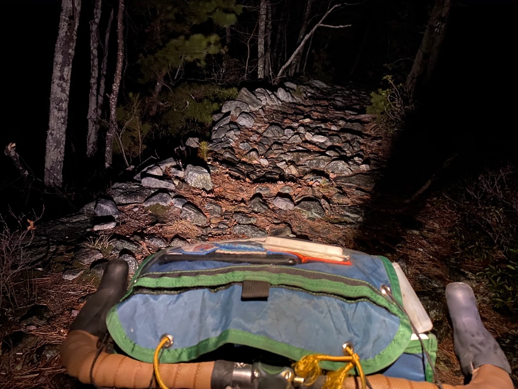
It was now fully dark as I headed to Berme Road Park on the outskirts of town, where I’d pick up the Smiley carriage road that would take me to Witch’s Hole State Forest. Somewhat to my surprise, the first mile or so was fairly rideable, though I ended up walking some sections due to a combination of surface and grade (averaging 9%). After a mile I came to a stream crossing and beyond that it was clear that the carriage road was not maintained–it turned to incredibly rocky hike-a-bike.
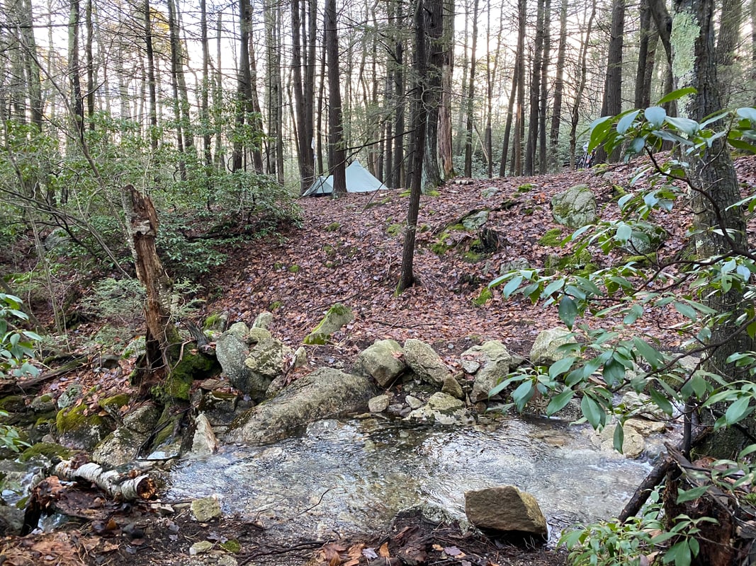
As I continued on I began to worry about finding a place to set up camp. There are no campsites marked on the state’s map of Witch’s Hole, and I’d rolled the dice on finding a suitable spot. But now the carriage road was bordered on either side by steep, rocky hillside overgrown with dense mountain laurel–there was nowhere flat and open enough to set up a tent (and the forecast called for rain overnight). Eventually I came alongside a second stream, which the carriage road would cross a little ways ahead, and it looked like there was a flattish area on the opposite side. Sure enough, when I crossed over, I found a nice open area that was flat enough to live with. A fire ring indicated that others had camped here before. I dragged my loaded bike across the stream and set up my tent quickly. Through the trees I could see the flicker of a fire some unknown distance away–I wasn’t the only one camping up here tonight. Since I was tired and didn’t need to cook, I crawled into my tent and read for a few hours before I let myself fall asleep.
Sunday
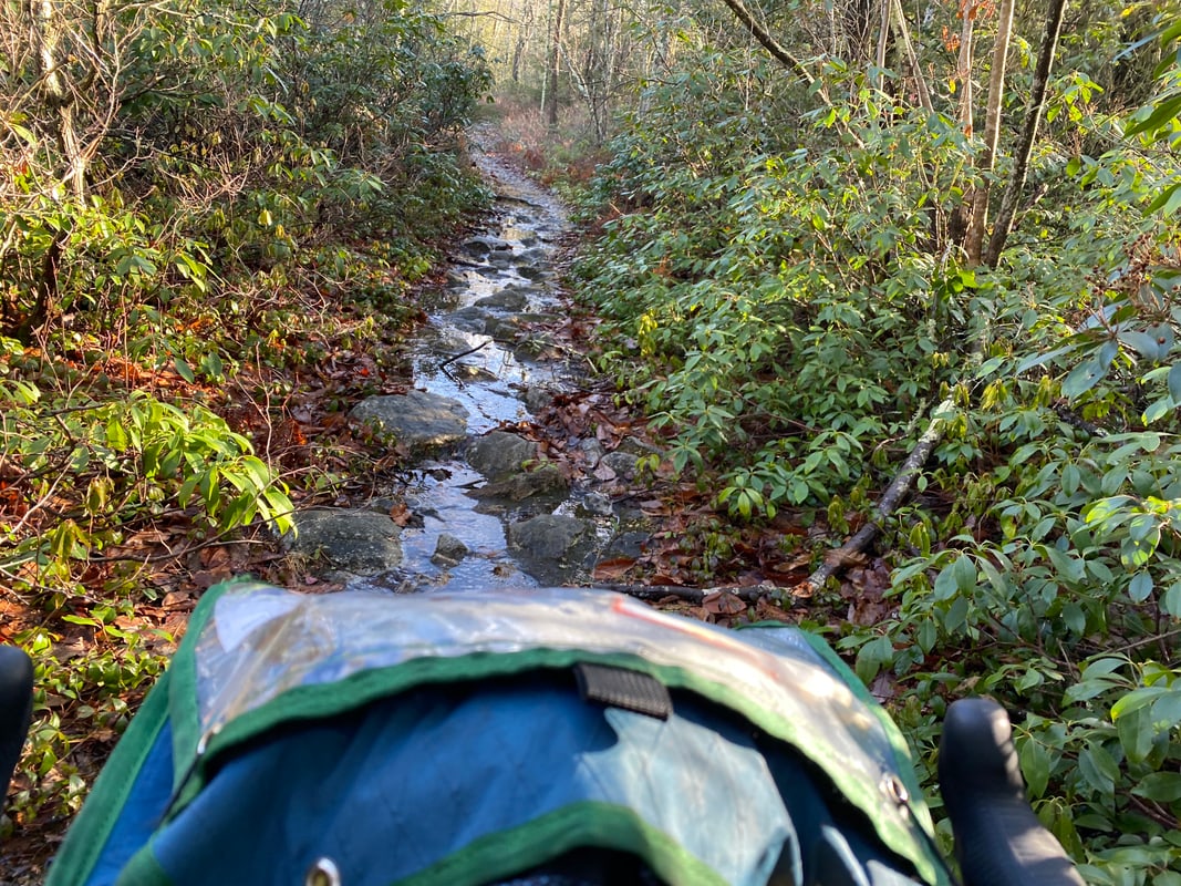
There had been rain and heavy winds overnight. Fortunately my tent had been sheltered by the hillside from the worst of the wind, but I’d heard it roaring through the trees far above and worried through the night about a tree coming down on me. By the morning it had stopped raining and remained absurdly warm. I took down my tent and made a cup of tea on my small camp stove before dragging my bike back across the creek and continuing along the Smiley carriage road. It grew even narrower and rockier as I continued to ascend toward the top of the ridge. Everything was wet from the recent rain and the snowmelt, and long sections of the trail were completely underwater. I quickly gave up on trying to keep my feet dry. Finally I came to Beaver Creek, the stream which marks the border between Witch’s Hole State Forest and the Minnewaska State Park Preserve. It, too, was running high, the rocks that served as stepping stones completely submerged. But as my feet were already soaking wet I shrugged and pushed my bike across.
Shortly after crossing into Minnewaska, the Smiley carriageway changes from a rocky narrow path into broad, smooth gravel. I believe this section was just restored sometime last year, and it’s lovely riding–you could ride a road bike on this part easily. However–surprise!–it turned out now that bikes are prohibited on the short section of the carriageway between Witch’s Hole and the change to fresh gravel. There was no sign posted at the western boundary where I’d entered, only at the end of the new gravel to the east.
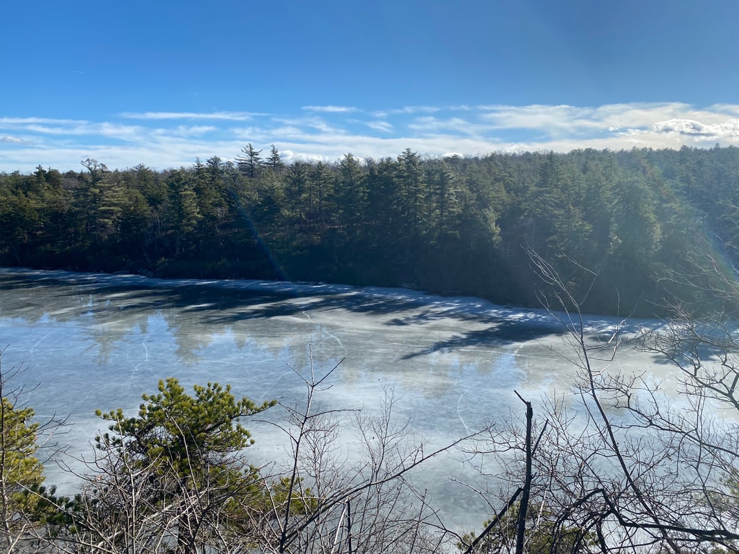
I continued along the newly-restored carriageway southeast to Lake Awosting, then followed a loop around its perimeter. Here again the trail was often underwater, but it was smooth enough that I was able to ride through, though doing so did no favors to my bottom bracket. I stopped for a lunch of ramen and beef jerky at an overlook. Despite the temperatures in the 60s, there was still considerable ice on the surface of the lake.
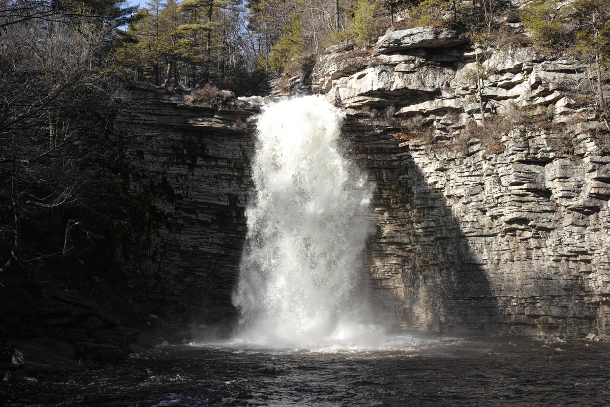
From Lake Awosting I continued east on the Upper Awosting Carriagway to Lake Minnewaska (where it appears the park is building a massive new visitor center amidst seas of parking), then east again on the Sunset carriageway to the edge of the Mohonk Preserve. (Along here I passed Awosting Falls, which I’d last passed in 2017 on 718 Cyclery’s Catskills tour. I was stunned by the power of the falls on this trip compared to that one.)
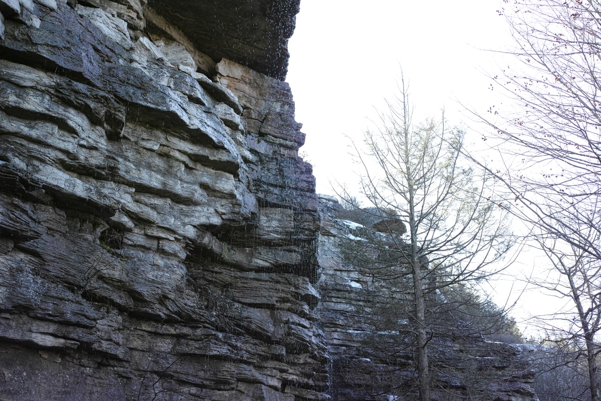
I continued through the preserve on the Trapps trail and then the aptly-named Undercliff carriage road. Undercliff follows the bottom of the famous Trapps rock climbing area, and the climbers were out in force taking advantage of the warm weather. I’ve known that the Gunks are a big climbing area, but this was my first time seeing climbers firsthand.
My goal was to connect eventually from the southeastern part of the Mohonk Preserve to the new River to Ridge trail to New Paltz. My planned route turned out to include several sections with no-bikes signage, so I ended up doing a bit of wandering around various woods roads trying to find one that would go through. Eventually I came out at the Pine Road parking area and from there I picked up the River to Ridge trail off of Butterville road. While it was a pleasant trail, winding its way through open farm fields, it was both circuitous and very crowded with large groups walking four or five abreast, so it was slow going. In the future I’ll likely stick to roads between the Preserve and New Paltz.
I stopped at Bicycle Depot in New Paltz to pick up new tubes and pump up my front tire, which now also appeared to be slowly losing air. (I have to say, I’m not sold on the tubeless thing. This was my second-ever tubeless trip and I had failures in both tires.) As I passed through New Paltz a bank sign showed the temperature was 70 degrees. From New Paltz it was a quick ride on the paved rail trail east to the river. I knew the Walkway over the Hudson would be a madhouse in this weather so I dropped down to take the pedestrian walkway on the Mid-Hudson Bridge. In no time I was aboard the train back to New York gorging myself on vending machine snacks.
